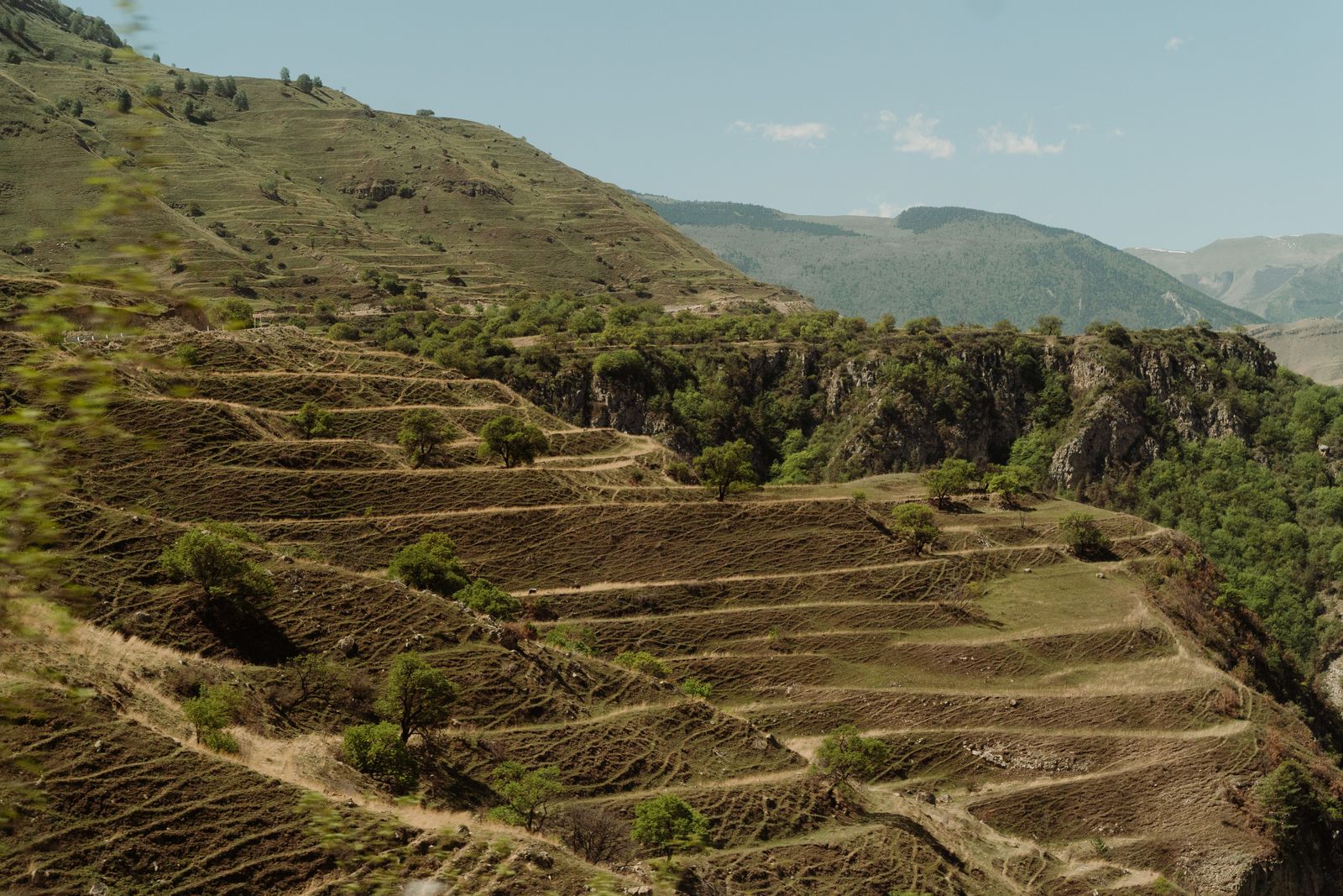
The Loess Plateau covers roughly 640,000 square kilometres of northern China — larger than France — and for most of recorded history it was one of the most eroded landscapes on Earth. Its silt gave the Yellow River its colour and its name: around 1.6 billion tonnes a year washed off the plateau toward the Bohai Sea. Then, starting in 1999, a state programme called Grain-for-Green began paying farmers on steep slopes to stop ploughing and let the land revegetate. Within two decades, plateau vegetation cover had roughly doubled and the sediment yield of the upper and middle Yellow River had fallen to about 0.3 billion tonnes a year.
The programme did not work alone. It ran in parallel with terracing, check-dam construction, and a ban on free-range grazing across huge swathes of Shaanxi, Shanxi, Gansu, Ningxia and Inner Mongolia, and alongside a separate reorganisation of how the river’s water was allocated. But the revegetation was the hinge, and the plateau is where the sediment was coming from.
The land that made the river yellow
Loess is wind-blown silt. Over millions of years, dust storms out of the Gobi and the Central Asian deserts piled fine particles onto northern China in layers hundreds of metres thick in places. The result is a plateau of unusually fertile but unusually fragile soil — soft enough to be carved into cave houses with a shovel, loose enough that a summer downpour can peel a hillside off in sheets.
Those same deposits are one of the most complete terrestrial climate archives on the planet. The interbedded loess and buried soils span at least the whole Quaternary, roughly 2.6 million years, with an older red clay sequence beneath extending the record further still. Read vertically, the plateau is a library. Read horizontally, until recently, it was a wound.
The Yellow River drains it. The 5,464-kilometre waterway runs from Qinghai to the Bohai Sea through nine provinces and autonomous regions, and supplies water to about 12 percent of China’s population. As it crosses the plateau, it picks up the silt that gives it its name. For millennia, that silt settled in the lower reaches faster than dredging could clear it, raising the riverbed above the surrounding plain in places. Over the past 2,500 years the river has broken its dikes some 1,600 times and changed course in its lower reaches 26 times.
Why the 1990s were the breaking point
By the mid-1990s, two things were going wrong at once. The plateau was still shedding topsoil, and the river was drying up. From 1972 to 1999 the lower Yellow River suffered repeated cutoffs — stretches where the water simply stopped reaching the sea.
At the delta, in Dongying, Zhu Shuyu, a wetland researcher at the Yellow River Delta Natural Reserve Administrative Bureau, described the mid-1990s to China Daily as a period when the river dried up for roughly 100 days a year, estuary wetlands shrank sharply, and birds and fish died off in large numbers. The sea began encroaching on land the river had spent centuries building.
Two policy responses converged around the turn of the century. The Yellow River Conservancy Commission took central control of water allocation; since August 1999 the main stem has reached the sea without interruption. Midstream, the Xiaolangdi Dam in Henan was completed in 2001 and from 2002 began releasing timed pulses of stored water to flush sediment through the lower channel. And across the plateau itself, Grain-for-Green began paying farmers to walk away from steep cropland.
How Grain-for-Green actually worked
The programme was blunt. Farmers on slopes above roughly 15 degrees were compensated with grain rations, cash subsidies and free seedlings if they took their fields out of cultivation and planted trees, shrubs or grass instead. Compensation ran for a fixed term that depended on what went in the ground. Local governments were given retention targets: keep the plantings alive, keep the sheep off, or lose the funding.
The land response was fast and enormous. Roughly 16,000 square kilometres of rain-fed farmland on the plateau were converted to forest or grass between 1999 and 2010, and vegetation cover across the region rose from 31.6 percent in 1999 to 59.6 percent by 2013 — the single largest greening signal of its kind anywhere on the planet.
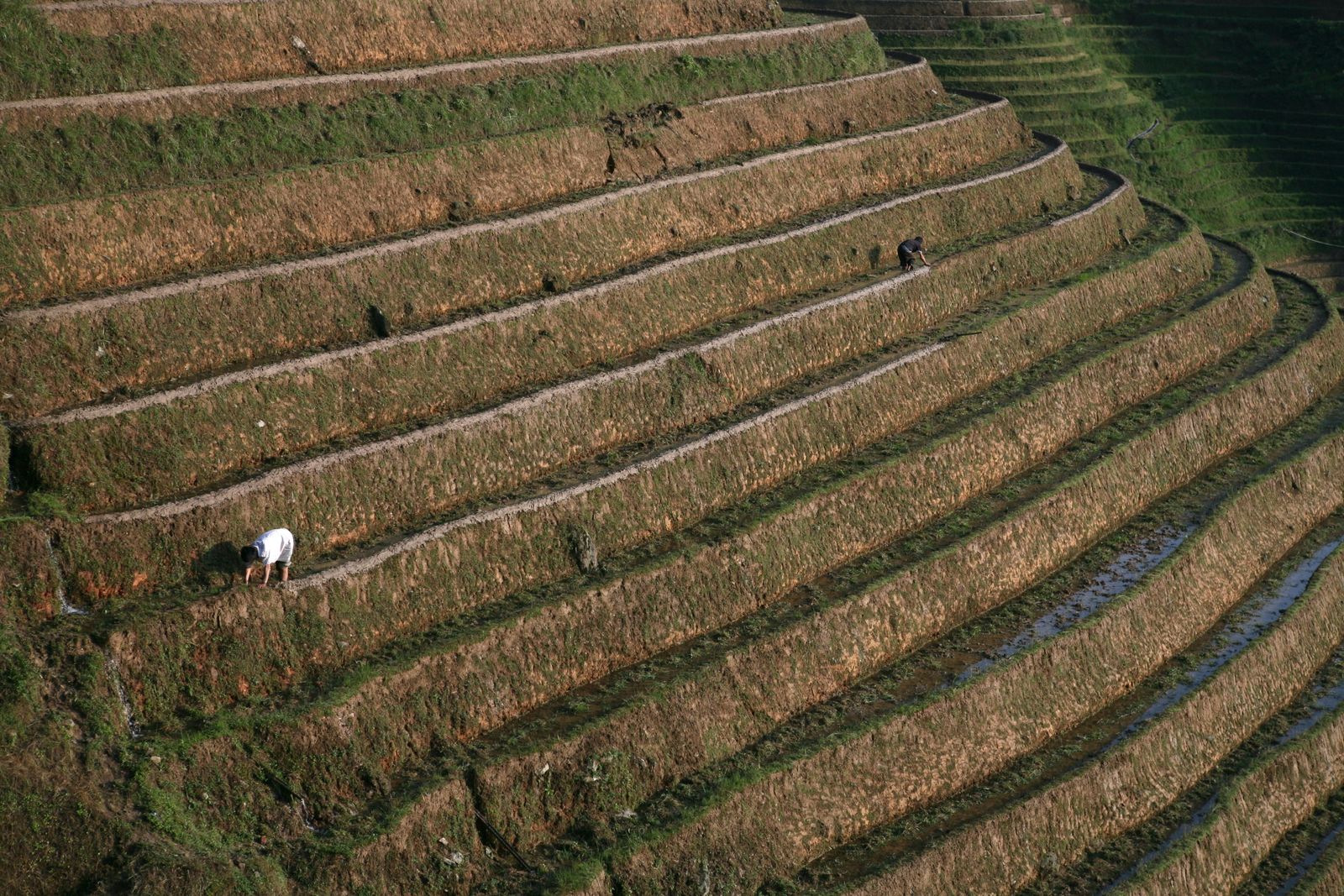
Terracing did the mechanical work. Check dams — earth or masonry barriers thrown across gullies — did the trapping. A survey combining field cores with remote sensing found that 50,226 active check dams intercepted about 10.2 petagrams of eroded sediment between 1970 and 2020, equivalent to 46 percent of the Yellow River’s sediment load over that period. Most of them have since filled to the lip, converting vertical badland into flat, arable pockets.
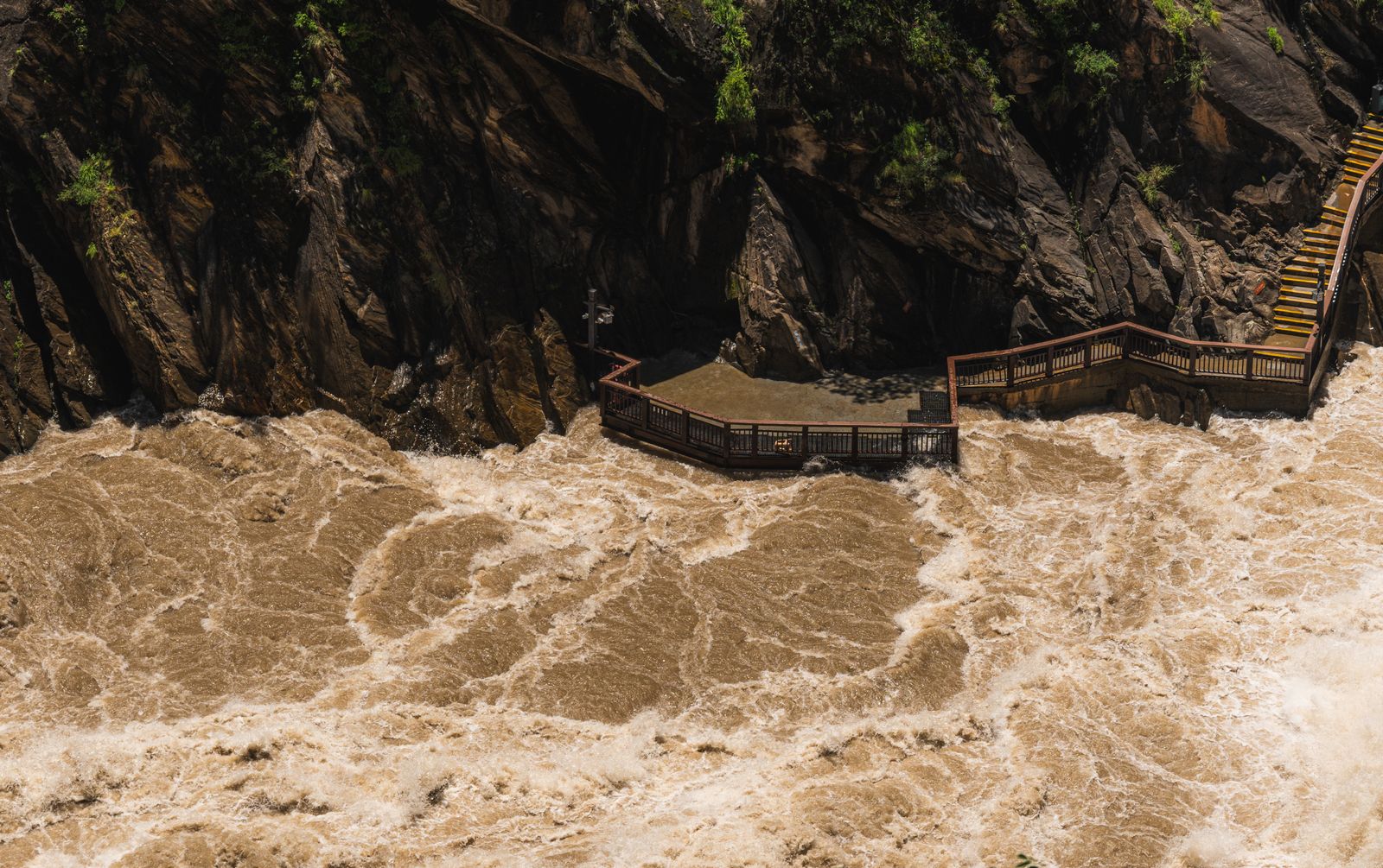
The headline number is the one measured at the gauging stations on the middle and lower river. Historic annual sediment yield of around 1.6 billion tonnes has fallen to roughly 0.3 billion — and the load actually entering the lower Yellow River has dropped by something close to 90 percent over the past twenty years.
Official accounting frames the achievement more broadly. Xinhua, summarising seventy years of embankment works, hydropower projects and afforestation on the plateau, reported a cumulative reduction of nearly 30 billion tonnes of silt and sand entering the Yellow River, with downstream sediment down 11.2 billion tonnes. That figure covers the whole post-1949 programme, not Grain-for-Green alone.
Researchers attribute the recent collapse in sediment primarily to vegetation recovery and terracing on the plateau, with additional contributions from check dams, reservoir trapping at Xiaolangdi and elsewhere, and reduced runoff caused by drier decades and heavier agricultural withdrawal. The proportions remain actively contested in the literature.
What it cost the water
The intervention was not free, and much of the price was paid in hydrology. Trees transpire. A hillside covered in poplar, black locust and pine loses more water to the atmosphere than a hillside of sparse millet stubble, and the plateau receives between 150 and 750 millimetres of rain a year depending on where you stand.
A 2016 analysis in Nature Climate Change found that the new planting raised both net primary productivity and evapotranspiration, and that the increase in evapotranspiration drove a significant decline in the ratio of river runoff to annual rainfall. The authors estimated a threshold of 400 grams of carbon per square metre per year above which the plateau’s population would face water shortages, and reported that the region was already close to it.
That conclusion is not unanimous. A 2022 paper in Geophysical Research Letters combining observations with land-atmosphere modelling found no consistent downward trend in observed streamflow across the plateau, arguing that greening accelerated local moisture recycling and that rainfall increases outpaced the extra evaporation. The disagreement is unresolved, and it matters: it determines whether further planting is a gain or a withdrawal.
What is not in dispute is the direction of travel downstream. Less water reaches the Yellow River from a basin where dozens of cities and roughly 15 percent of China’s arable land already depend on it.
The delta got the message late
The delta at Dongying was built by silt. Since the river last shifted into its present channel in 1855, Loess Plateau sediment has pushed the coast seaward at 20 to 35 square kilometres a year, assembling several thousand square kilometres of new land inside a century and a half. When the silt supply collapsed, the delta stopped growing and, in places, began to erode. Saltwater started pushing up the estuary.
The response was engineering, again. Dykes were built to hold the freshwater that did arrive; Xiaolangdi releases were timed to reach the delta at ecologically useful moments. Since 2002 roughly 23,000 hectares of degraded wetland have been restored in the reserve, and the number of bird species recorded there has climbed from 283 to 368. Oriental white storks, which had never bred in the delta, first arrived in 2005; more than a thousand have hatched there since.
The pattern — fix one end of a system and force a new problem at the other — is familiar. Hydrological triage, with the winners and losers set by where the concrete goes.
What the plateau looks like now
From the air, the fingerprint of Grain-for-Green is unmistakable. The old checkerboard of terraced millet and buckwheat cut into slopes too steep to hold it is gone in most places, replaced by a coarser green mosaic of planted forest, natural regrowth, and stepped bench terraces where cultivation continues on flatter ground. Villages that spent generations rebuilding gully walls after every rainstorm now sit above slopes that hold together through a summer downpour.
The plateau has not returned to some pre-agricultural baseline. Sediment records reconstructed across the past 4,000 years show human land use shaping erosion rates on this landscape for millennia, and much of what has been replanted is monoculture — black locust in particular — with lower biodiversity than the mixed native cover it displaced. Some early plantings failed as soil moisture ran out. Later phases shifted toward drought-tolerant shrubs and grasses in the drier northwest.
The register of the achievement has shifted too. A decade ago the story was topsoil saved and a river cleared. Now it is balance sheets — how much water the trees are drinking, how a sediment-starved delta holds its line against the sea, whether the check dams will silt up and fail, whether the subsidies that made the whole thing work will keep being paid once the farmers who took the deal age out of the villages.
Photographs of the Yellow River at Hukou Waterfall in the 1980s show a torrent the colour of wet clay. Photographs from the same overlook two decades later show water that is still brown but visibly thinner — closer to strong tea than to liquid earth. The name of the river has not changed. The load it carries has.
Somewhere on the plateau, in a gully that used to lose a metre of soil in a single storm, a check dam built in 2003 is full to its lip with trapped silt, and a farmer is growing maize on the flat patch it made. Downstream, at Dongying, the coastline is no longer advancing into the Bohai Sea. The land is quiet. The river runs.