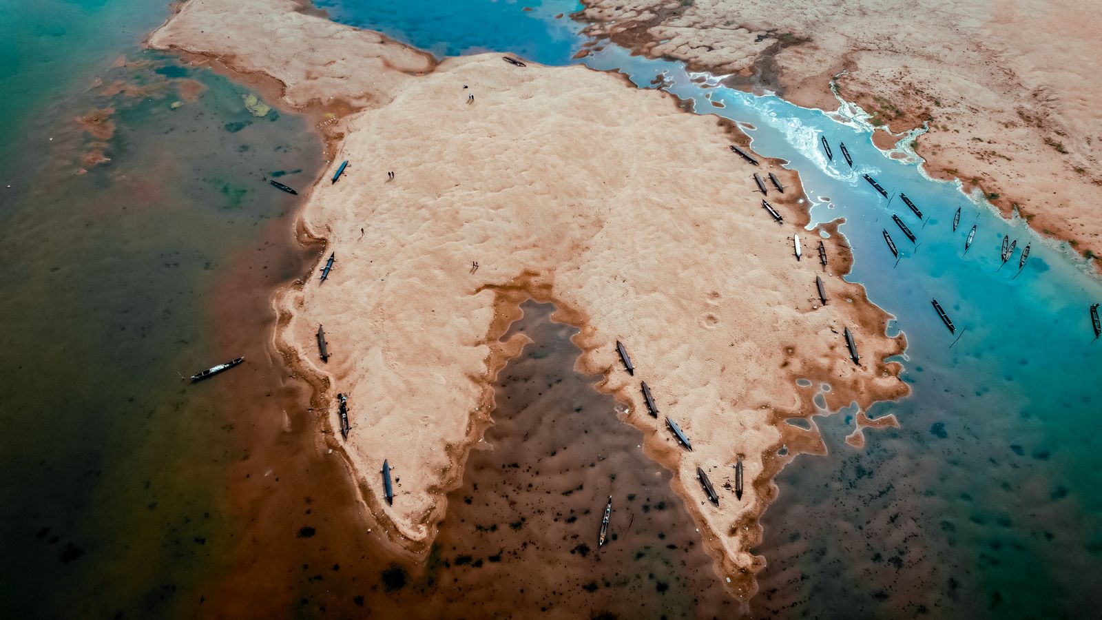
Bangladesh’s coastal mangrove plantings helped stabilise mudflats and reduce the force of water reaching some embankments, but the dramatic fall in cyclone deaths came from a combined defence: mangroves, embankments, shelters, early warnings and organised evacuation. The cyclone of 29 April 1991 killed nearly 139,000 people, while Cyclone Sidr in 2007 killed fewer than 3,500. The trees slow storm-driven water; the warning and shelter system moves people out of its path. That is what happened when the delta began building a living green belt along parts of its coast, according to records from NOAA and the World Bank.
The chronology matters. Bangladesh did not begin coastal afforestation as a single response to the 1991 disaster. Planting started in 1965, roughly a generation earlier, and the post-cyclone Coastal Greenbelt Project added embankment, roadside, homestead and trial foreshore planting from 1995 to 2002. Nor do 200,000 hectares of planted mangrove all stand today: a 2023 satellite study mapped about 53,977 hectares of mangrove patches outside the Sundarbans in 2021, while larger figures usually describe cumulative planting rather than surviving forest.
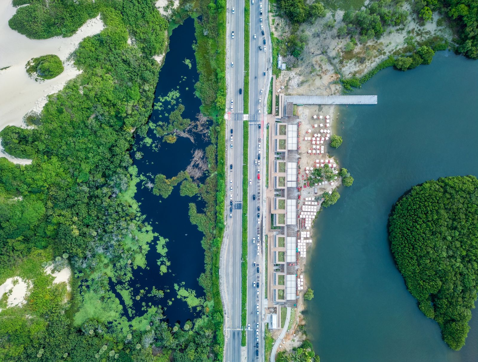
The night the coast drowned
The 1991 cyclone came out of the Bay of Bengal and struck the Chattogram region after reaching estimated sustained winds of about 160 mph at peak intensity. NOAA records a storm surge of roughly 20 feet, or six metres, and about $1.7 billion in damage. On low islands and tidal flats, that depth of water could erase a village between one tide and the next.
The shape of the northern Bay of Bengal magnifies the danger. Water driven northward is funnelled into a narrowing, shallow basin and then pushed across a densely populated delta. A storm’s track, its angle at landfall, the tide and the local seabed can matter as much as its headline wind speed.
Bangladesh had already been planting mangroves on newly accreted coastal land for 26 years when the cyclone arrived. The disaster did, however, accelerate a broader greenbelt strategy. The Asian Development Bank approved the Coastal Greenbelt Project in 1995, and the project ran until the end of 2002.
That project was wider than a mangrove campaign. It planted along embankments, roads and railways, supported nurseries and homestead planting, and tested foreshore plantations. Its completion record reports 1,394 kilometres of embankment planting and 6,702 kilometres along rural and type-B feeder roads, showing why the country’s green wall is better understood as a network of belts and patches than as one unbroken forest.
How a forest begins on moving mud
The Forest Department focused much of its mangrove work on chars, the silty islands and mudflats that emerge around the Meghna estuary and other river mouths. These are unstable places. A young tree must tolerate salt, daily flooding, soft sediment and the possibility that the next cyclone will strip the ground away.
Sonneratia apetala, known locally as keora, became the main pioneer species. It grows quickly and sends upright breathing roots, called pneumatophores, through oxygen-poor mud. Bangladesh government researchers describe large-scale keora planting across the coast, while also warning that older single-species stands develop gaps from insect damage, changes in inundation and heavy mortality in unsuitable sites in a Bangladesh Agricultural Research Council record.
The roots and trunks add friction to each tide. Water slows, suspended silt settles, and the forest floor can rise. In favourable sites, that process helps turn a temporary mudflat into more stable land behind the first rank of trees.
Species vary along the coast. Keora and gewa are common in the west and centre, while bain, Avicennia officinalis, is more prominent toward the southeast. The satellite record found mangrove patches outside the Sundarbans growing from about 4,660 hectares in 1962 to about 53,977 hectares in 2021, but it also shows breaks, losses and shifting shorelines rather than a continuous ribbon from west to east.
What the wall can and cannot stop
Mangroves do not stop a major storm surge. Their protective effect depends on forest width, tree density, species, water depth, coastal shape and the condition of the roots and trunks. A narrow, damaged belt cannot be assigned a universal percentage of protection.
The most relevant Bangladesh modelling makes that limit concrete. Researchers simulated Cyclone Sidr at seven coastal sites and found that mangroves reduced water-flow velocity by 29% to 92%, but reduced surge height by only 4 to 16.5 centimetres in the tested configurations. The peer-reviewed study concluded that mangroves should be combined with embankments and other built protection in densely populated areas.
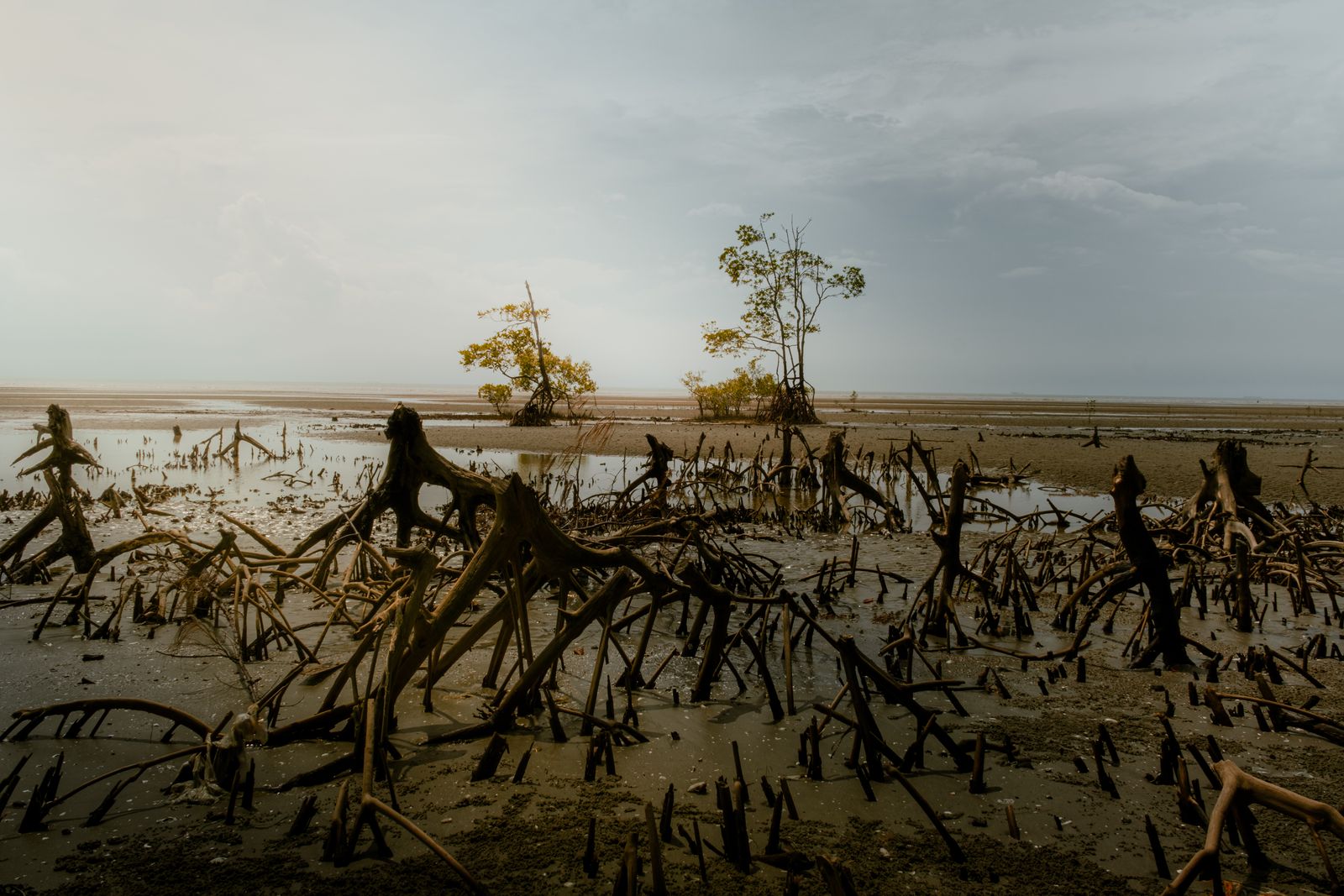
That distinction explains why the trees still matter. Slower water is less able to scour an embankment’s foot, tear out soil or widen a breach once it begins. The forest may protect the structure that holds back the flood even when it barely changes the maximum water level.
A 2025 World Bank assessment identified 255 potential restoration sites and estimated costs of about $7,467 to $7,781 per hectare. At some wide sites, mangroves could reduce the required thickness of engineered slope protection by as much as 80%, but fewer than 15% of the identified sites had belts wider than 500 metres. The same report estimated that direct livelihood benefits exceeded restoration costs at 252 of the 255 sites.
Why fewer people die now
Cyclone Sidr made landfall on 15 November 2007 with maximum winds near 155 mph and killed fewer than 3,500 people. That was a fraction of the 1991 toll, but it was not a controlled test of the trees. The storms followed different tracks, struck different communities and met different tides, while population exposure and local shelter access also differed.
The strongest institutional account credits Bangladesh’s change in disaster policy, community mobilisation, early-warning systems and coastal shelters. The World Bank calls the shelter network the most important example of protective infrastructure and points to roads that let people reach those buildings. Mangroves are one part of this system, not a substitute for it.
The Cyclone Preparedness Programme supplies the human link. Its official activity record describes volunteers spreading warning signals, guiding people to shelters, providing first aid and conducting search and rescue. Megaphones, hand sirens and local teams can save lives hours before the water reaches the trees.
The sequence is therefore layered. Forecasts trigger warnings; volunteers press for evacuation; roads lead to raised shelters; embankments hold back ordinary tides and part of the surge; mangroves slow water and reduce erosion on the exposed side. Remove any one layer and the coast becomes more fragile.
The difference between 1991 and 2007 should not be written as 130,000 lives saved by mangroves. It is evidence that Bangladesh built a far more effective cyclone-survival system between the two disasters. The greenbelt belongs inside that achievement, but the death-toll comparison cannot isolate its share.
The problem of keeping a planted forest alive
Keora’s speed made it useful on bare mud, but speed also encouraged single-species stands. Researchers in Bangladesh have reported insect damage, gaps in ageing plantations and poor regeneration where the forest floor rises beyond the tidal conditions young mangroves need. Cattle grazing, cutting and conversion to aquaculture add pressure from the landward side.
A durable belt needs more than replacement seedlings. It needs species matched to salinity and inundation, room for slower-growing mangroves to establish, protection from grazing and cutting, and monitoring after each cyclone opens new gaps. Planting is the beginning of the defence, not its completion.
That warning now applies on a larger scale. In July 2026, Bangladesh announced a five-year goal of having 250 million new trees survive nationwide, expecting that roughly 70 million of 320 million planted saplings may die. The plan includes coastal afforestation, and its emphasis on survival and digital monitoring is reported by the Dhaka Tribune.
The target is not yet a forest. A seedling database can count what entered the ground, but only years of satellite checks and field surveys can show what became closed canopy, where mixed species took hold and where a cyclone or shrimp pond removed the belt again.
The area figures should therefore remain separate. Cumulative planting records measure effort; mapped forest measures what can be seen standing at a given date; protection depends on width, density and location. Treating those three numbers as interchangeable turns a complicated coastal defence into a slogan.
A wall that has to move
A healthy mangrove can build vertically as tides leave sediment among its roots. That makes it different from concrete, but not invulnerable. If sea level rises faster than the forest floor, or if an embankment blocks the trees from migrating inland, prolonged flooding can kill the stand.
Research published in June 2026 found that rising seas may increase carbon storage in some local patches while reducing it across whole mangrove forests over the next century. The University of Exeter-led work modelled how longer flooding, dieback and erosion can turn carbon-rich soils from a sink into a source. Bangladesh’s belt will need sediment and room to retreat if it is to keep both its protective and carbon value.
Sediment is part of the defence, not waste passing through it. The pressure runs in the opposite direction from the Loess Plateau’s effort to cut the Yellow River’s silt load: on Bangladesh’s coast, too little sediment can leave a rising sea to overtake the forest floor.
The greenbelt is also a different bargain from a fixed barrier such as the Kok-Aral Dam that revived part of the Aral Sea. Concrete defines a line and must be maintained there. Mangroves can repair, seed and accumulate mud, but only while the water, sediment and land around them remain suitable.
At high tide on a char, the defence is easy to miss. Brown water moves among pale trunks, and thousands of blunt pneumatophores interrupt the current close to the mud. Silt settles grain by grain. Behind the trees, an embankment and a raised shelter wait for the next warning siren. The wall is alive, but survival still depends on every layer behind it.