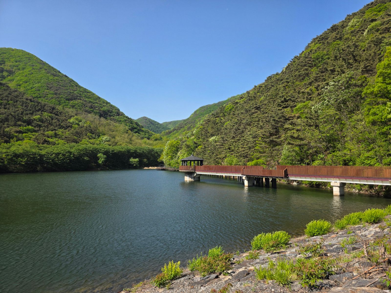
South Korea achieved the turnaround through a state-led forest rehabilitation programme launched in 1973, reinforced by village nurseries, restrictions on cutting and an economy-wide shift away from firewood. Stocked forest cover rose from about 35 percent of the country in 1955 to roughly 63 percent today, while average growing stock climbed from 5.7 cubic metres per hectare in 1953 to 165 cubic metres per hectare by 2020, according to the Korea Forest Service.
The northern half of the peninsula did not remain uniformly bare after the Korean War. Its steepest modern forest losses began in the early 1990s, when shortages of food and fuel drove logging, firewood collection and the conversion of mountain slopes into small fields. That difference in timing matters because the two Koreas did not begin at opposite ecological poles; their paths separated as their energy systems, economies and institutions separated.
The starting point: forest land without much forest
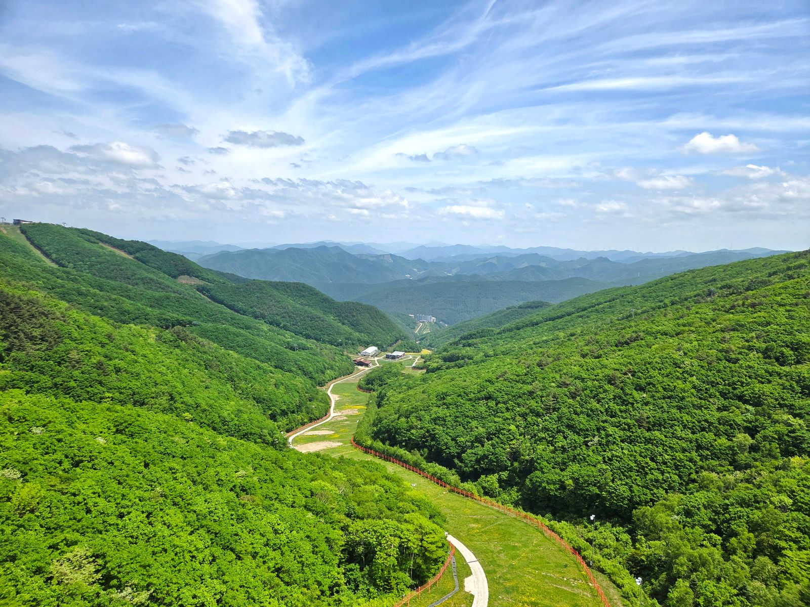
Japanese colonial logging and the Korean War left forests across the peninsula severely degraded. Mature trees had been cut for timber and fuel, while combat, fires and uncontrolled post-war harvesting stripped already damaged slopes of much of their remaining woody growth.
The distinction between forest land and functioning forest is important. Historical reconstruction published in Land Use Policy estimates that South Korea had about 3.3 million hectares of non-stocked forest land in 1955, meaning land classified for forestry but carrying little or no usable tree cover. The country was not converting open farmland into one enormous new forest so much as refilling millions of hectares of damaged mountain terrain.
Average growing stock was only about 5.7 cubic metres per hectare in 1953. With roots and leaf cover depleted, summer rain could move quickly across exposed slopes, carrying soil into rivers and reservoirs and making erosion control as urgent as timber production.
The 1973 plan put numbers behind the ambition
The decisive national campaign began under President Park Chung-hee in 1973. The First National Forest Plan set a measurable goal of restoring more than one million hectares of denuded land, using fast-growing trees to stabilise slopes while mobilising schools, workplaces, local governments and rural communities.
The original ten-year programme was completed years ahead of schedule. Korea Forest Service records report that approximately 1.08 million hectares were treated between 1973 and 1978, rather than the 6.5 million hectares implied by the earlier draft.
The government also needed billions of seedlings, more than state nurseries and commercial growers could supply. Under the village nursery system documented by the National Archives of Korea, local forestry associations raised seedlings that the government agreed to purchase, turning tree production into a source of wages and village income.
This was mass participation, but it was not a gentle or entirely voluntary campaign. Forest administration was placed under the Ministry of Home Affairs, allowing provincial officials, police and forestry officers to enforce planting quotas, restrict access to vulnerable mountains and penalise unauthorised cutting.
The hidden engine was taking pressure off the hills
Planting seedlings would have accomplished little if households had continued cutting them for cooking and winter heat. Forest recovery therefore depended on changing what people burned, not simply on changing what grew.
South Korea coordinated forestry policy with its expanding energy system, replacing much household firewood use with coal briquettes and, later, oil, gas and electricity. Research on the country’s forest transition identifies this substitution of commercial fuels for wood as one of the central reasons newly planted and naturally regenerating trees were able to survive.
Industrialisation and urbanisation reduced the pressure further. As employment and population moved from mountain villages toward towns and cities, fewer households depended directly on nearby woodland for daily fuel, fodder and marginal farmland.
The second national plan continued from 1979 through 1987, combining further rehabilitation with large commercial forest zones and stronger fire, pest and erosion control. A Food and Agriculture Organization review records roughly 966,000 hectares of additional reforestation during this phase, bringing the achievement well beyond the first plan’s one-million-hectare target.
Why the northern forests declined later
North Korea’s history does not fit a simple picture of uninterrupted denudation since 1953. Research combining satellite observations with accounts from people who lived in the country places the major acceleration of forest loss between roughly 1992 and 1995.
That timing coincided with the collapse of Soviet support, a deep economic crisis and the famine known as the Arduous March. A study in Regional Environmental Change identifies state timber extraction, household fuel collection, fires and the clearing of so-called mountain fields for food as major drivers of the change.
The result was not the complete disappearance of North Korea’s forests. One 2025 analysis of publicly available NASA MODIS imagery estimated that woodland still covered 49.3 percent of the country in 2024, alongside about 1.23 million hectares classified as deforested land.
That same Daily NK satellite analysis found that woodland had begun increasing again after Kim Jong Un launched a national reforestation campaign in 2015. The gains were uneven and fell short of the government’s stated target, with continued losses in several northern mountain regions.
The contrast between the Koreas is therefore real, but it is not frozen in 1953. South Korea removed pressure from recovering hillsides during rapid industrialisation, while North Korea’s pressure intensified during the economic breakdown of the 1990s and has only partly eased since.
What South Korea recovered, and what it did not
South Korea now has approximately 6.3 million hectares of forest, covering 63 percent of its land area. The more dramatic measure is density: average growing stock reached 165 cubic metres per hectare in 2020, about 29 times the 1953 level and above the OECD average reported by the Korea Forest Service.
Those numbers do not mean that pre-colonial ecosystems were recreated exactly as they had been. Early plans prioritised fast growth, fuel production, erosion control and commercial timber, so many recovered stands began as simplified plantations rather than diverse, old forest.
The management problem has consequently changed. South Korea’s current Sixth National Forest Plan places greater emphasis on biodiversity, ecological health, climate resilience, landslide prevention and protection from increasingly destructive forest fires.
The recovery also carried costs that cannot be separated from its political setting. It was accelerated by authoritarian enforcement and by a switch from wood to fossil fuels, two features that explain the speed of the transformation without turning every part of it into a model for the present.
What satellites can actually see
Daytime satellite imagery does not reveal a single, textbook-straight boundary where green South Korean forest abruptly becomes bare North Korean soil. A NASA Landsat mosaic describes the western DMZ itself as a broad green strip surrounded by more intensively cultivated land on both sides, showing how restricted human access can matter as much as the national border.
The peninsula’s clearest orbital contrast appears after sunset. A 2024 photograph from the International Space Station shows South Korea traced by dense urban lights while most of North Korea remains dark, a difference produced by electricity access and urban development rather than chlorophyll.
Space Travel has previously examined how orbital perspective changes what can be understood from the ground, from the first photograph of Earth taken from space in 1946 to NASA’s reconstruction of the Apollo 8 Earthrise view. The Korean Peninsula offers another version of that perspective, but only when the images are read carefully.
Seventy years after the armistice, the trees on South Korea’s ridges are no longer seedlings, and the northern landscape is no longer following a single downward line. From orbit, the peninsula records several histories at once: war, hunger, industrialisation, enforcement, recovery and the long consequences of what people must burn to get through winter.